Before ring roads
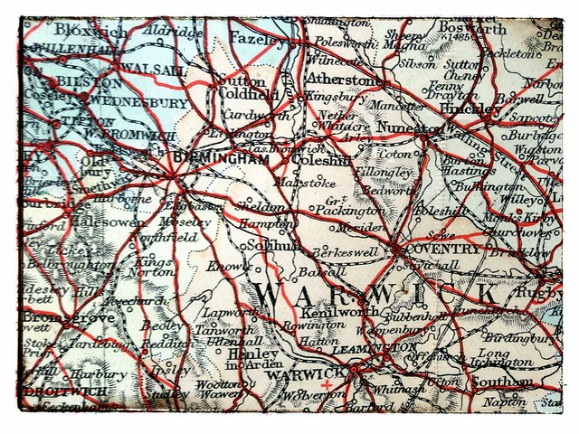
Looking at this 1890s cycling map of England it’s striking that it’s probably not motorways that have had the most visual impact on our landscape but the tarmac-strangulation of towns and cities. Before ring roads diverted (mostly) motorised traffic around the outside of British towns and cities roads used to go straight into urban centres.
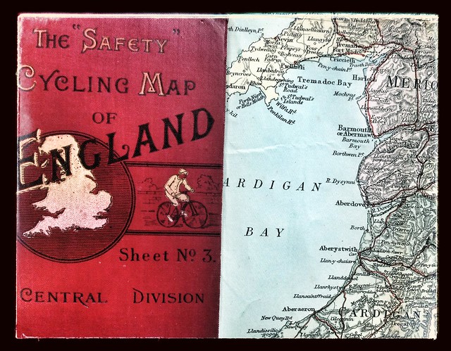
Images are of The “Safety” Cycling Map of England by Gall & Inglis of London and Edinburgh. There’s no date on the map (this is common problem with maps but, of course, extends shelf-life) but it’s probably 1897. Unlike modern paper maps this one is printed on cloth and is of just the right size to fit snugly in a jersey back pocket. Wool jersey, naturally.